Est. 1570
Abraham Ortelius
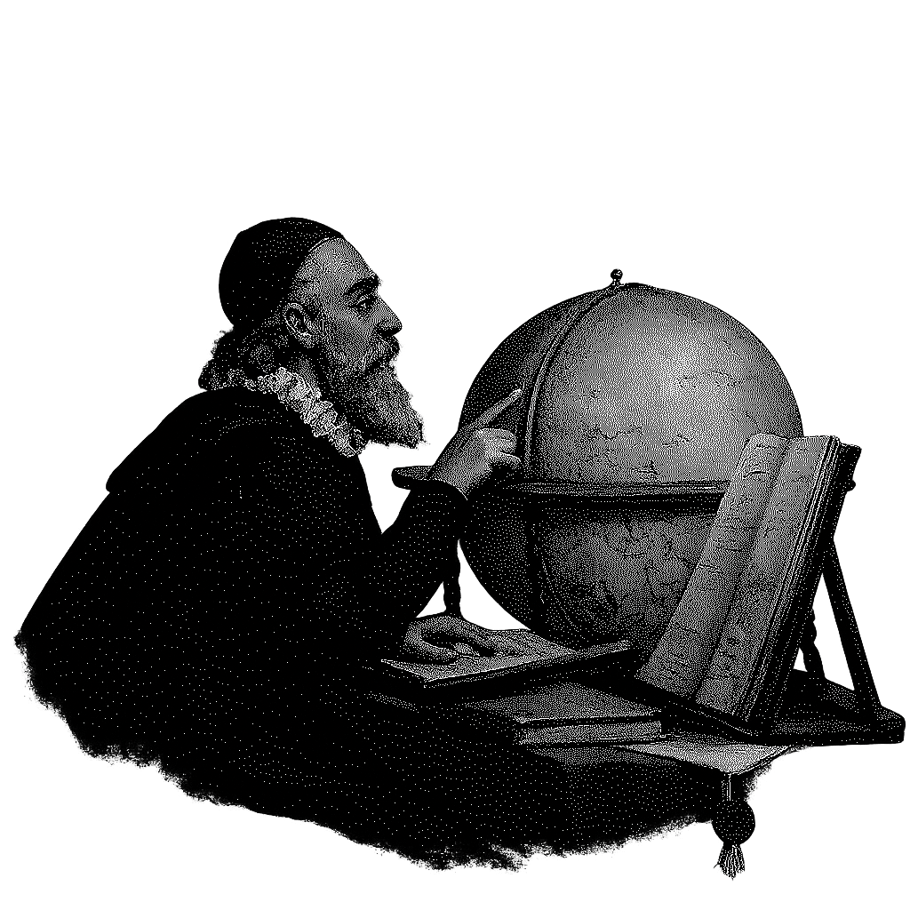
In 1570, a draughtsman in Antwerp published a book called Theatrum Orbis Terrarum, the Theatre of the World. It is remembered as the first modern atlas. Not a single map, but the scattered maps of the known world gathered into one volume, redrawn to a common standard, and credited to the people who made them.
Ortelius did not discover new coastlines. He did something rarer. He took knowledge that already existed, inconsistent, contradictory, spread across dozens of hands, and turned it into one model of the world you could actually reason about.
Once the whole world sat in front of him as a single picture, he noticed something no map had been built to show. The coastlines of the Americas, Europe and Africa looked as though they had once fit together and been pulled apart. Years later he wrote it down. The idea we now call continental drift would wait roughly three hundred years for the rest of science to agree.
That is the part worth keeping. A good model of the world does not only store what you already knew. It surfaces the relationships that were invisible while the knowledge was still scattered.
That is why we are Ortelian.
We do for a company what Ortelius did for the world. We gather its scattered, contradictory knowledge into one coherent model, so the relationships that were always there become something you can finally see, and act on.
The map is never the territory. But the right map lets you see what the territory was hiding.
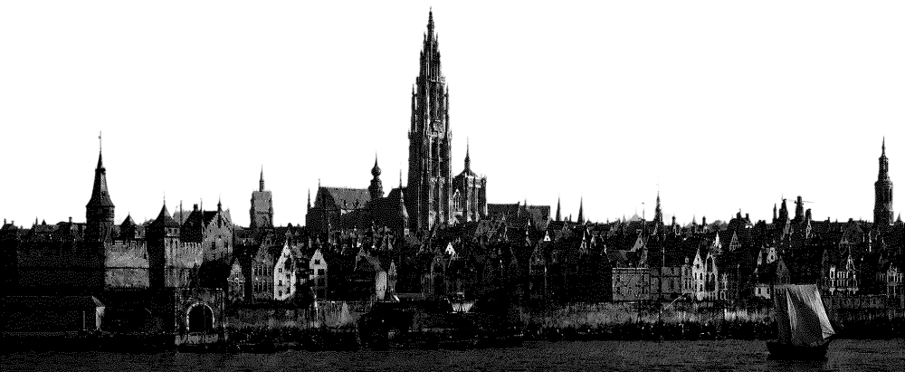
Ortelius worked in Antwerp. Four and a half centuries later, so do we.